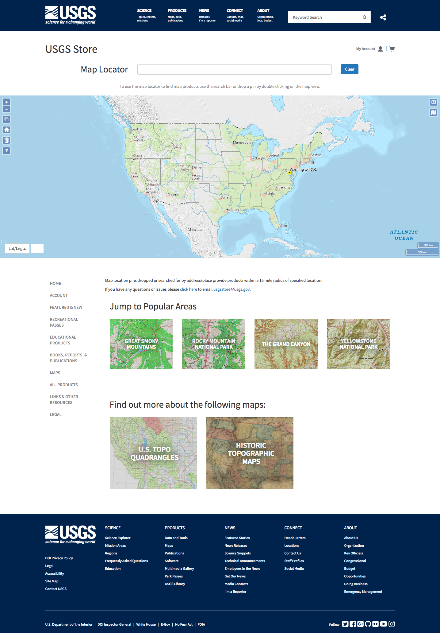
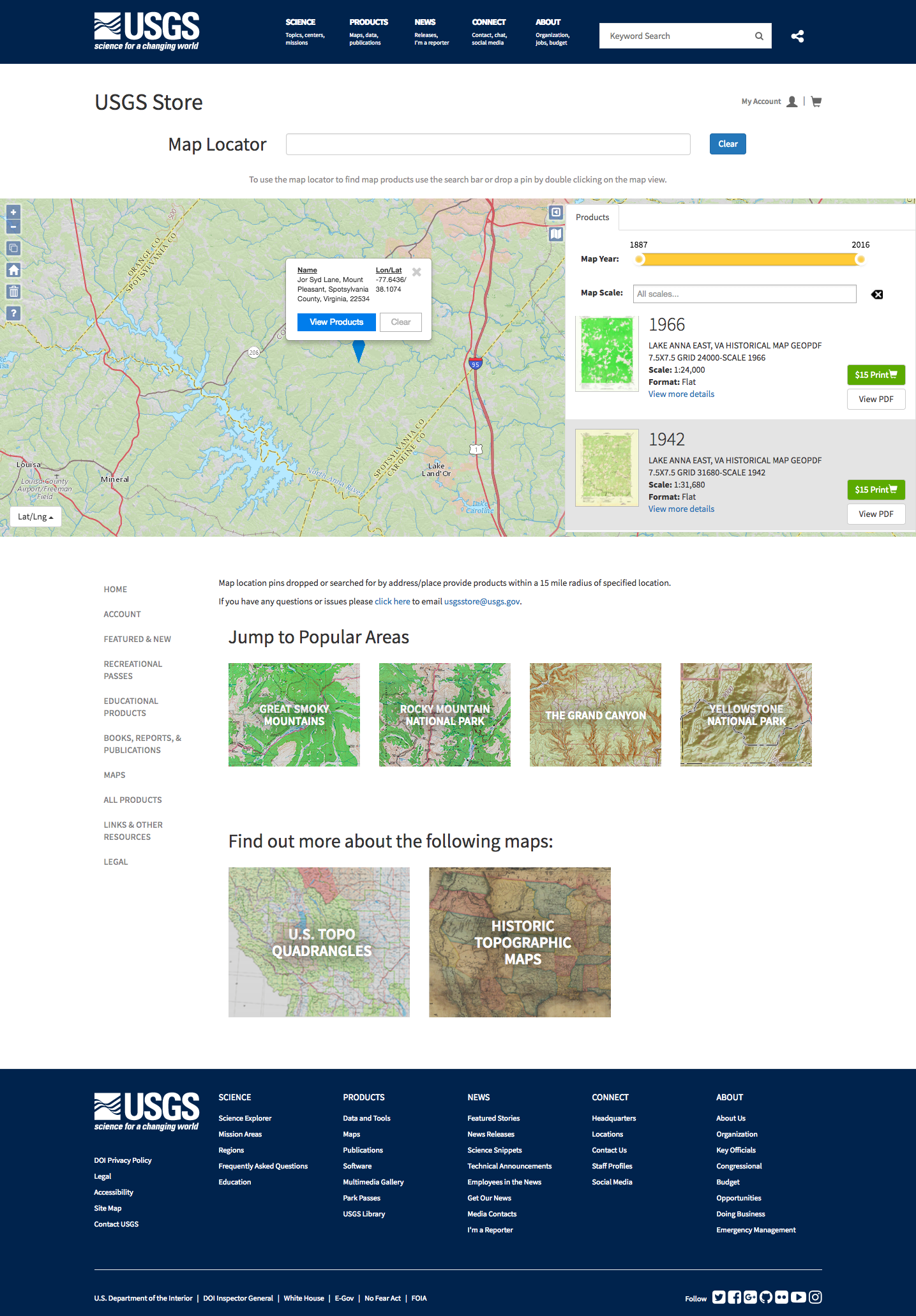
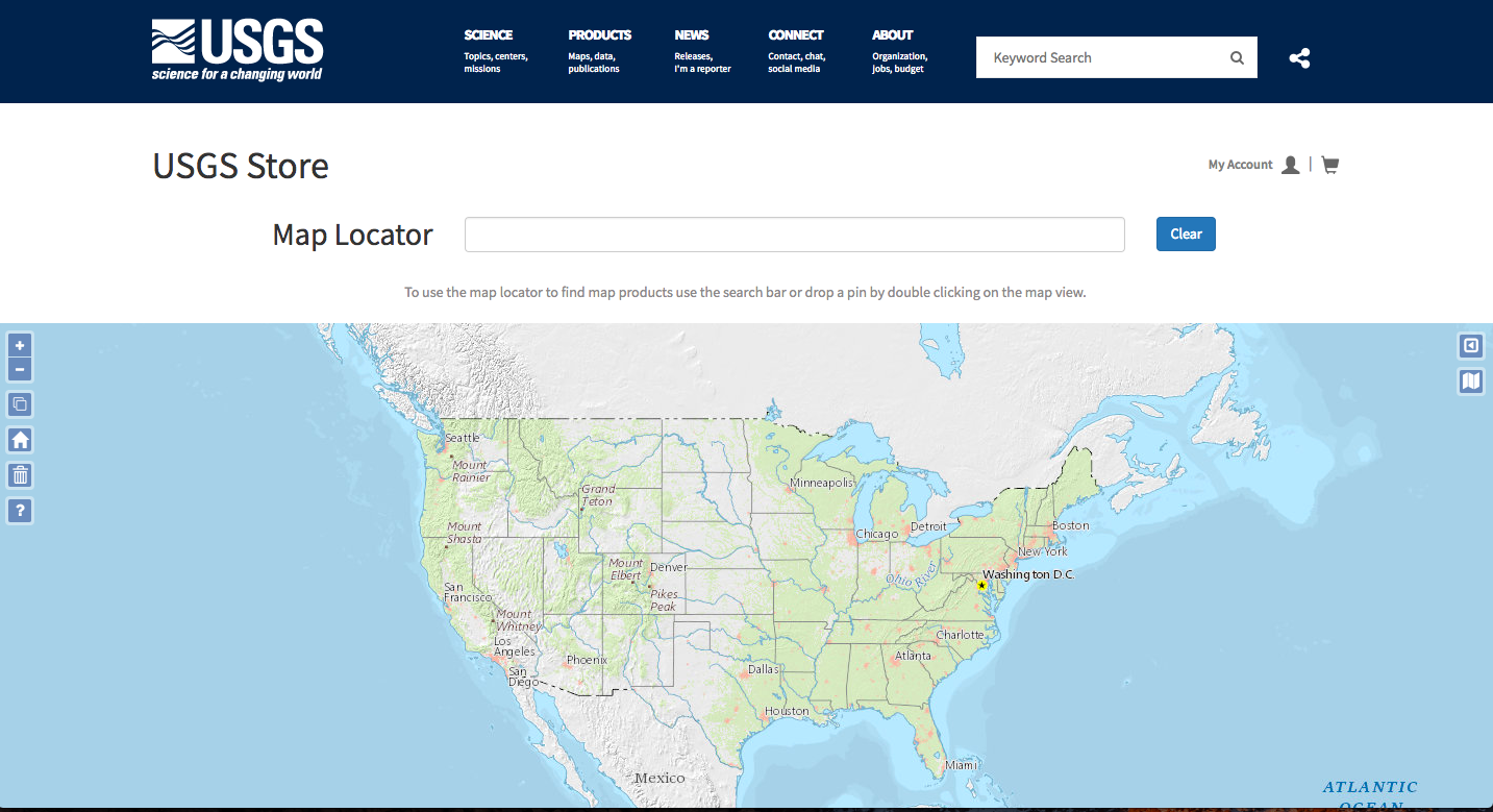
An additional feature that we developer for the new USGS.gov Store rebuild was a map locator tool. This useful tool incorporates an export of their products via ElasticSearch into a product map. Dropping a pin on the map will yield a display of products based in that geographic area with a radius of 15 miles.
The map API was supplied by ESRI and uses OpenLayers to help with point plotting and layer switching.
- Drupal/
- API/
- Javascript/
- Bootstrap/